
Ocala ZIP Areas at a Glance
Fourteen ZIPs use the Ocala postal name, from 34470 through 34483. They range from the central and southeast city core to broad unincorporated parts of Marion County. The corridor names below are working geography, not legal boundary findings. Confirm a specific address with USPS, the parcel roll, and the Ocala city-limit overlay before deciding which office holds its permit or code record.
| ZIP | Working area | Known postal facility | Boundary note |
|---|---|---|---|
| 34470 | East and central, Silver Springs Boulevard | Verify by address | City and county mix |
| 34471 | Central and southeast core | Verify by address | Strong city overlap |
| 34472 | Southeast and Silver Springs Shores | Maricamp Station | Large unincorporated area |
| 34473 | Far southwest, Marion Oaks | Verify by address | Mostly beyond incorporated core |
| 34474 | Paddock, airport, and I-75 corridor | Paddock Station | City and county mix |
| 34475 | North-central and northwest | Verify by address | City and county mix |
| 34476 | Southwest, Friendship corridor | Verify by address | Broad postal Ocala area |
| 34477 | USPS-recognized Ocala destination | Role unconfirmed | Verify current use |
| 34478 | Main Post Office boxes | Main Post Office | Nonordinary PO-box use |
| 34479 | Northeast | Verify by address | City and county mix |
| 34480 | Southeast | Verify by address | City and county mix |
| 34481 | Southwest retirement corridor | Verify by address | Much unincorporated territory |
| 34482 | Northwest horse-farm corridor | Verify by address | Extensive unincorporated area |
| 34483 | USPS-recognized Ocala destination | Role unconfirmed | Verify current use |
The clearest special case is 34478, tied to the Main Post Office and PO-box use rather than an ordinary neighborhood. The exact special roles of 34477 and 34483 were not confirmed. The official USPS city and state lookup is the right place to verify the current list.
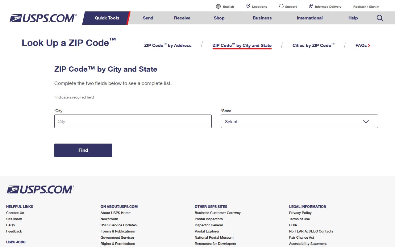
The USPS result checks postal use. It does not decide city jurisdiction or parcel ownership.
Postal Ocala Is Not City Ocala
An address can say Ocala and still lie in unincorporated Marion County. ZIPs route mail; they do not draw the city boundary. This is common in 34472, 34473, 34476, 34481, and 34482, and mixed conditions also occur elsewhere. County property, deed, court, and election systems cover both incorporated and unincorporated parcels. City permits and city code cases apply only inside Ocala.
The Ocala Districts map service places city limits, council districts, ZIP polygons, and the Marion County boundary in one official layer set.
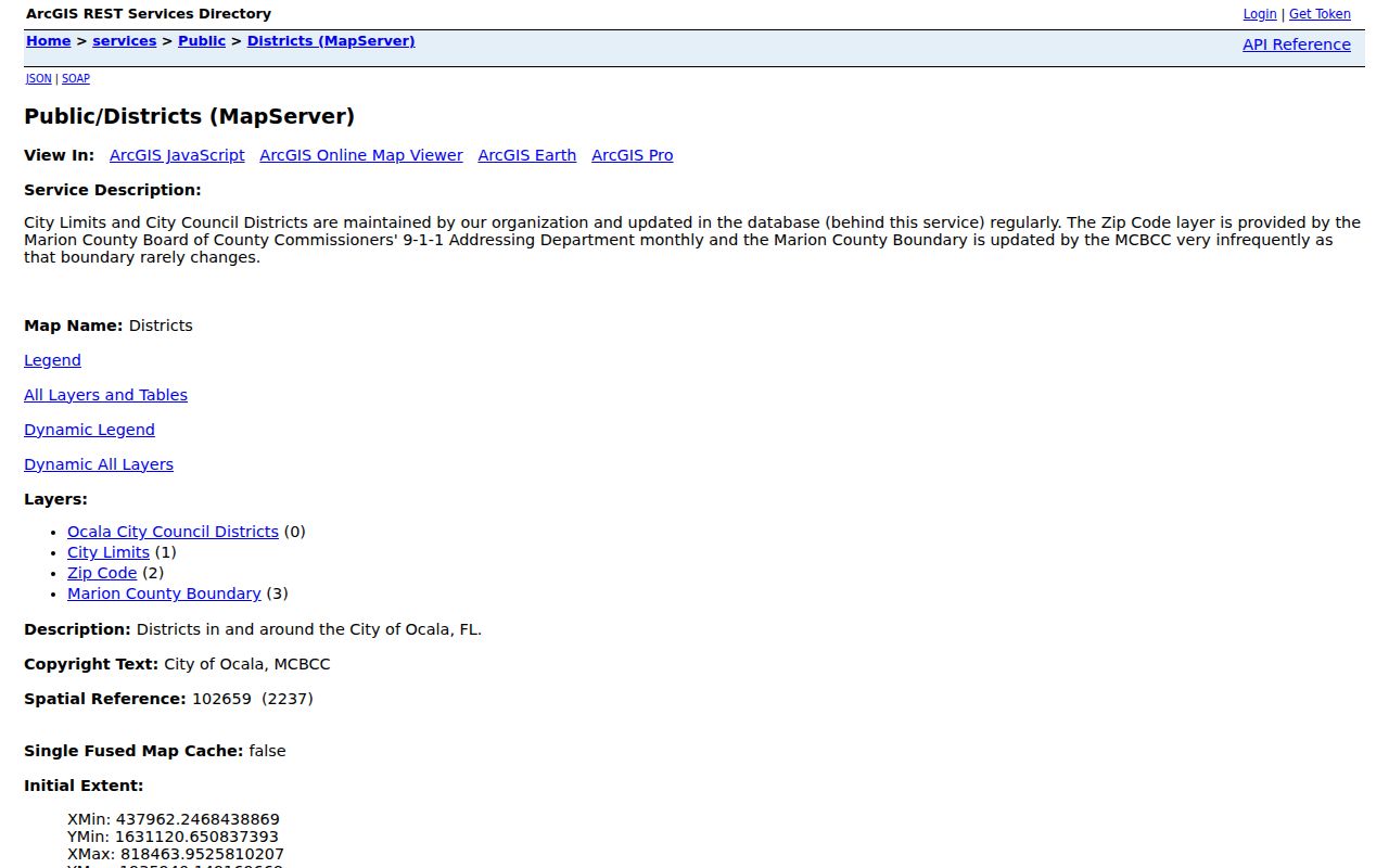
Overlay the parcel location with the city-limit layer before sending an address request to Ocala or Marion County.
Ocala ZIP Corridors Explained
The central and southeast core has its strongest city overlap in 34471. East and central areas along Silver Springs Boulevard fall in 34470, while 34472 reaches far into Silver Springs Shores. Southwest Ocala is split among several postal zones. The Paddock, airport, and I-75 corridor uses 34474; Marion Oaks uses 34473; the Friendship corridor uses 34476. Northwest horse-farm areas commonly use 34482.
These labels help orient a search, but they should not be treated as exact neighborhood boundaries. A postal polygon can cross a road, subdivision, district, and municipal limit. Once the ZIP list narrows the area, move to the official parcel map for a specific address.
Ocala Street Ranges Inside ZIPs
Marion County 911 Management assigns road names and house or business numbers. Its Master Street Address Guide records the full street name, prefix, type, suffix, low and high address range, postal community, and odd, even, or both sides. That makes it a stronger address check than a list of ZIPs alone. The county grid uses NE, NW, SE, and SW prefixes, and a compound road such as SE 163rd Court Road can be valid rather than an indexing error.
Address applications, discrepancy forms, the quadrant explanation, and the street guide are available through Marion County 911 Management. The office is at 2710 E Silver Springs Boulevard and can be reached at 352-671-8460 during its posted weekday hours.
Note: Keep every direction prefix and road-type word when checking an Ocala address, since omitting one can point to the wrong range.
Search Ocala Residents Within a ZIP
Official portals do not all support ZIP searches. Ocala GIS can map ZIP polygons, and Sunbiz can search filed business records by ZIP or street. The Marion County Property Appraiser specifically tells users not to enter a ZIP in Address mode. The Clerk's documented Official Records fields and Ocala's documented permit fields also lack a ZIP filter. Florida's individual voter status tool requires a first name, last name, and date of birth; it is not a ZIP-wide resident browser.
- Verify the full address and postal code with USPS. A city-name list is only a first pass.
- Open the Ocala Districts layer and compare the ZIP polygon with the city boundary.
- Use the parcel number or street address in the Property Appraiser portal, without adding the ZIP.
- If the lead concerns a filed business, use Sunbiz ZIP or street-address search and open the dated filing PDF.
- Use the proper custodian for any next record, based on parcel jurisdiction rather than postal city alone.
Sunbiz search fields include ZIP Code and Street Address, but results describe entities, officers, agents, and filings rather than households. The Sunbiz corporation search guide explains how to read those official results.
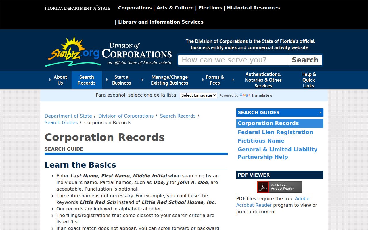
A filed business address can be a dated lead. It should not be treated as proof that a named person lives there now. Once a ZIP is narrowed to one road, the Ocala street directory explains the address-level chain.
Ocala ZIP Search Options Compared
The strongest ZIP-capable sources answer different questions. GIS shows geography. Sunbiz finds official business filings. USPS verifies postal use. Property Search holds ZIP data in its parcel results but requires an address, name, parcel, map, legal, or other supported search mode. Choosing the tool by its field prevents a false household list.
| Official source | ZIP input | Best use | Key limit |
|---|---|---|---|
| USPS lookup | City and state or full address | Confirm postal assignment | Does not prove city limits |
| Ocala Districts GIS | ZIP polygon layer | Compare ZIP and city geography | Not a household roll |
| Sunbiz | ZIP Code or Street Address | Find filed entities and roles | Business filing, not residence proof |
| Property Appraiser | No ZIP in Address mode | Match parcel, owner, situs, and mailing data | Search by another supported field |
The Ocala ZIP code directory therefore works as a routing layer. It helps choose the next official source, but the source record supplies the actual fact.
Four Ocala Address Identities
One property can carry several address-like identifiers. The situs address states where the parcel lies. The owner mailing address is where tax mail goes. A legal description or parcel number identifies the land across address changes. The USPS address and ZIP route mail. These fields may agree, but they are not interchangeable.
- Situs address
- The physical location assigned to a parcel.
- Mailing address
- The destination used for the owner's tax correspondence, which may be elsewhere.
- Parcel or legal description
- The durable land identifier used to match maps, plats, and deeds.
- ZIP+4
- A five-digit ZIP plus four digits that refine a delivery segment.
- Carrier route
- A group of delivery points served along a postal route, not a civic border.
Never infer who occupies a home solely from a mailing mismatch. A homestead indicator can support owner-occupancy research, but it still does not prove that a person is physically present today.
Ocala ZIP Boundaries and City Limits
Postal Ocala extends well beyond incorporated Ocala. This mismatch determines which local office holds an address-linked record. A city parcel can lead to Ocala permits, code cases, and the City Clerk. An unincorporated parcel instead points to Marion County services, while county property, deeds, courts, and election records cover the wider area. Start with the map, then use the parcel ID to confirm jurisdiction.
- ZIP
- A five-digit postal delivery area that can cross municipal boundaries.
- PO-box ZIP
- A code used mainly for post-office boxes rather than ordinary street delivery, as documented for 34478.
- Unique ZIP
- A code assigned to one large recipient; no Ocala unique ZIP was confirmed in the research.
- City limit
- The legal municipal border that controls whether Ocala city services and records apply.
Use the Marion County Property Search after the boundary check. Its address mode accepts a portion of the street address, omits city, state, and ZIP, and works best with brief terms. Results separate the site address from the owner's mailing address and provide parcel, subdivision, lot, block, zoning, and recorded instrument references.
Note: No authoritative dated Ocala ZIP split or citywide street renumbering was found, so unexplained changes should be checked with USPS and 911 Management.